
Bukit Merah MRT Stations Guide | Circle Line CC25 Everything You Need
Nine MRT stations across three lines serve the Bukit Merah planning area more MRT coverage than most Singapore planning areas of comparable size. The challenge is not getting to Bukit Merah by MRT. It is knowing which of the nine stations is closest to the specific destination you want, which exit to use, and whether you need a bus connection for the last leg. This guide covers every station in the planning area with the exact exits, walking distances to key destinations and bus connections for places that are not walkable from the platform.
All MRT Stations Overview Summary
The nine stations serving Bukit Merah are distributed across the perimeter and interior of the planning area. None of them sits at the true geographic centre the residential interior of the Bukit Merah and Telok Blangah housing estates is served primarily by bus rather than MRT. This distribution means that the station you use depends entirely on which part of the planning area you are going to, not on there being a single main station for the area.
The Two Stations You Must Know
If you are visiting Bukit Merah for the first time, the two stations that will serve most of your needs are Tiong Bahru (EW17) for the northern and central parts of the planning area, and HarbourFront (NE1/CC29) for the southern waterfront. Everything else branches off from these two. Learn which exit to use at each Exit A at Tiong Bahru leads to the market; Exit B/C at HarbourFront leads to VivoCity and the rest of the navigation follows logically.
EW17 Tiong Bahru Station
Tiong Bahru is the primary MRT gateway to the northern section of the Bukit Merah planning area and the most useful station for first-time visitors. It sits on the East-West Line between Outram Park (EW16) to the east and Redhill (EW18) to the west. The station’s ground level exits open onto Tiong Bahru Road the main east-west road connecting the conservation area to the residential estates to the west.
Tiong Bahru
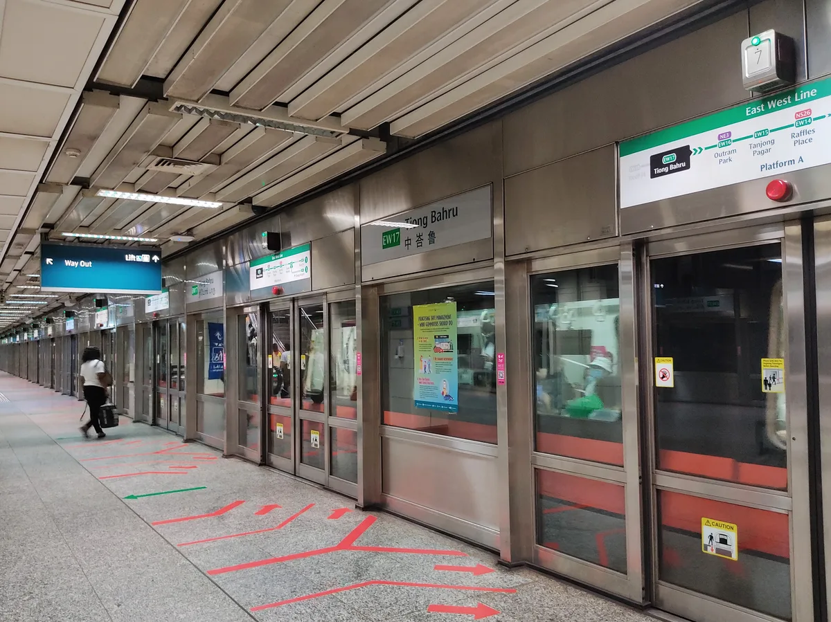
The most important station for visitors to the planning area. The station serves Tiong Bahru Market, the art deco conservation area, Tiong Bahru Bakery, Forty Hands, Books Actually, Tiong Bahru Plaza and the park. It is also the bus connection point for reaching the Bukit Merah Central estates and Alexandra Village by bus.
Station Exits
Walking Distances from Exit A
Bus Connections from Tiong Bahru MRT
Bus 121/122: 1 stop to Bukit Merah Central Food Centre and Bukit Merah View Market. Bus 33/63: towards Alexandra Village Food Centre and Keng Eng Kee. Bus 147: towards Bukit Merah Lane 1 and Keng Eng Kee.
Tiong Bahru MRT Common Navigation Mistake
Most first-time visitors take Exit A and walk straight south on Tiong Bahru Road. The market is on the left continue past the block and turn left on Seng Poh Road. The market entrance is on the right side of Seng Poh Road. Many visitors walk past the block entrance because they do not realise the market is set back from the road and accessed via Seng Poh Road rather than Tiong Bahru Road directly.
EW18 Redhill Station
Redhill MRT sits one stop west of Tiong Bahru on the East-West Line, serving the Redhill and southern Bukit Merah residential areas. It is less useful for tourists than Tiong Bahru but more practically located for residents accessing the Bukit Merah Bus Interchange, Redhill Food Centre and the bus connections to the Alexandra corridor.
Redhill
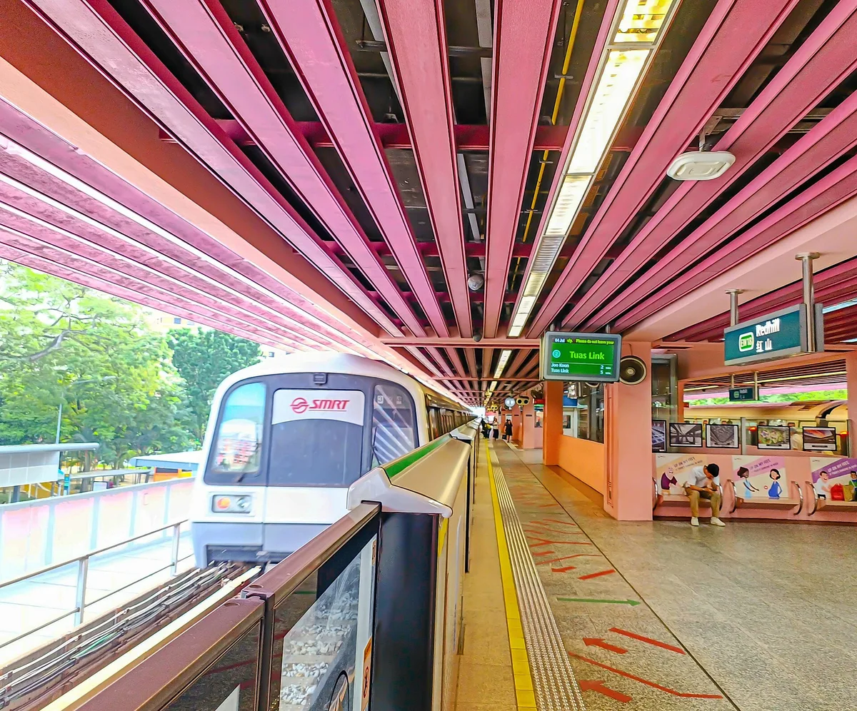
The station for the Redhill residential estate and the most direct MRT connection to the Bukit Merah Bus Interchange. Less tourist-facing than Tiong Bahru the area around the station is primarily residential HDB with functional commercial ground-floor units rather than the cafe and conservation area character of Tiong Bahru.
Station Exits
Walking Distances from Exit A
Bus Connections from Redhill MRT
Bus 61/75: to Bukit Merah Bus Interchange (5 min). Bus 33/63: along Alexandra Road to Alexandra Village Food Centre, Keng Eng Kee and the food corridor.
NE1 / CC29 HarbourFront Station
HarbourFront is the most important interchange station in the Bukit Merah planning area one of Singapore’s busiest MRT stations and the southern terminus of both the North-East Line and the Circle Line. From here, VivoCity is a 3-minute walk, the Singapore Cable Car to Sentosa and Mount Faber departs from HarbourFront Tower 2 (5 min walk), and the ferry terminal to Batam and Bintan is accessible on foot.
HarbourFront
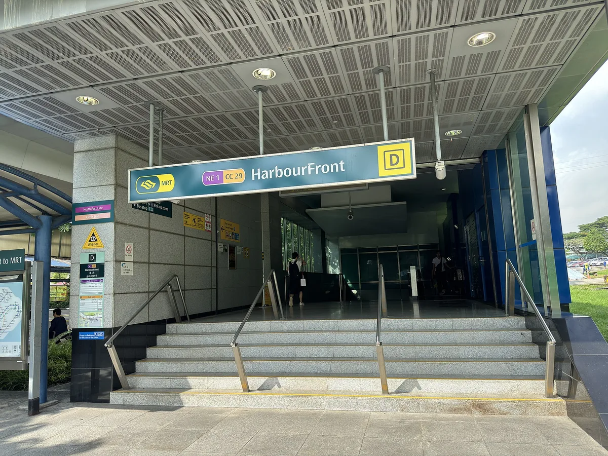
HarbourFront is the planning area’s most complex station two separate line platforms (NE and CC) connected by an underground concourse, with multiple exits leading to VivoCity, HarbourFront Centre, HarbourFront Tower 1 and 2, and the bus terminal. Understanding which exit to use from which platform saves significant time and confusion.
Station Exits
Walking Distances
Bus Connections from HarbourFront
Bus 175: north to Alexandra Road, Gillman Barracks area and Queenstown. Bus 14: north-east to city centre. Bus 30/65/100: various directions use Citymapper or Google Maps for specific journeys.
CC27 Telok Blangah Station
Telok Blangah MRT sits on the Circle Line between Labrador Park (CC26) and HarbourFront (CC29 note that CC28 Mount Faber does not exist; the line jumps from CC27 to CC29 through the direct connection). The station serves the Telok Blangah residential area, Telok Blangah Rise Food Centre and is the closest MRT to Sum Kee Food the zi char stall that draws diners from across Singapore.
Telok Blangah
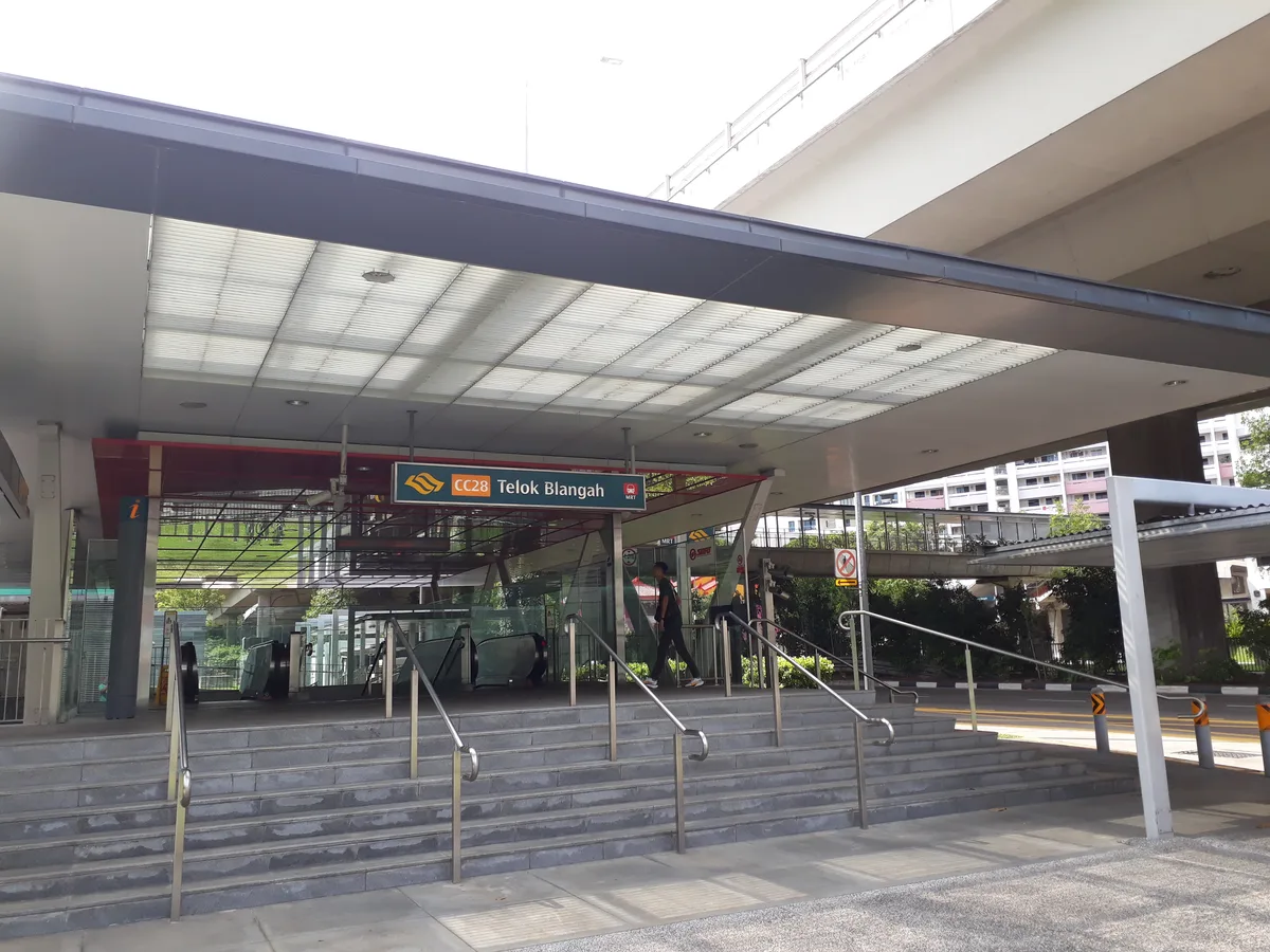
A quiet station with minimal tourist infrastructure at ground level. The surrounding area is residential HDB. The station’s main visitor purpose is as the arrival point for Sum Kee Food and Telok Blangah Rise Food Centre at dinner time, and as the descent point for the Southern Ridges trail if you walk from Henderson Waves down to the food centre for a post-hike meal.
Station Exits
Walking Distances from Exit B
CC26 Labrador Park Station
Labrador Park MRT is one of Singapore’s quietest stations almost no tourist infrastructure at ground level, minimal commercial facilities and a 10-minute walk to the park entrance through a pleasant residential and greenery-lined stretch. It is the correct starting point for the Labrador Nature Reserve, Berlayer Creek mangrove walk and the southern entry to the Southern Ridges trail.
Labrador Park
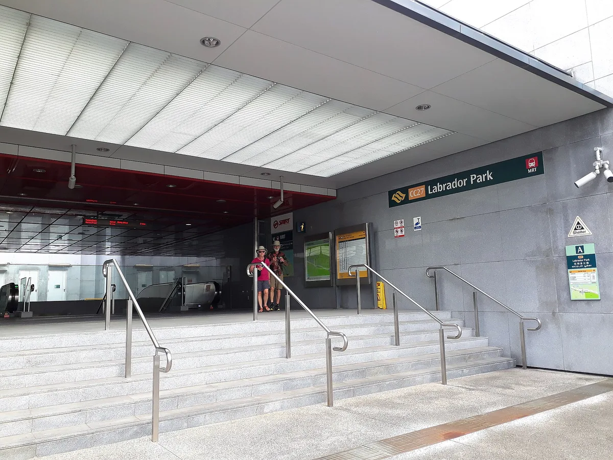
The quietest Circle Line station in the planning area and the correct MRT for Labrador Nature Reserve. The single exit leads out to a relatively quiet road Labrador Villa Road runs south from the station exit directly towards the park entrance. The walk is straightforward: turn right out of the exit and follow Labrador Villa Road south.
Station Exit
Walking Distances
There are no bus routes that connect Labrador Park MRT directly to Gillman Barracks without a change Grab is consistently the most practical option. The Grab pickup point is directly outside the station exit.
CC25 Haw Par Villa Station
Haw Par Villa MRT sits at the western edge of the Bukit Merah planning area on the Circle Line, serving primarily the Haw Par Villa theme park the famous Tiger Balm Gardens built in 1937 by Aw Boon Haw as a free public park showcasing Chinese mythology and cultural values through elaborate dioramas and statues. The park is genuinely unusual and worth a visit for anyone interested in Chinese cultural history or unusual Singapore heritage attractions.
Haw Par Villa
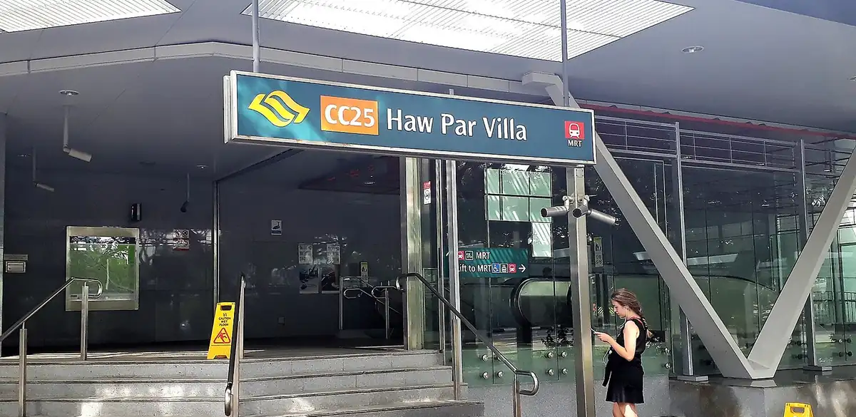
The station exit opens directly opposite Haw Par Villa’s entrance on Pasir Panjang Road. It is also the access point for the western end of the Southern Ridges trail for those walking from Kent Ridge Park into the Bukit Merah planning area.
Station Exit
Walking Distances
Which MRT Station for Each Destination
Use this section to find the correct station for any major destination in the planning area without reading every station profile above.
MRT Interchange Connections Getting to Bukit Merah
The three MRT lines serving Bukit Merah connect to the wider Singapore MRT network at the following interchange stations. Understanding these connections tells you the fastest route from any part of Singapore.
Travel Times Between Stations Planning Multi-Stop Days
Bukit Merah’s nine MRT stations are not all on the same line, which means moving between them sometimes requires going via interchange stations. Here are the key inter-station travel times within and between the planning area’s three lines.
Multi-Stop Day Planning Using Multiple Stations
A well-planned Bukit Merah day can use multiple stations efficiently. Example: arrive at Tiong Bahru MRT (EW17) for market breakfast, walk the conservation area, then Bus 121 to Bukit Merah Central for the popiah stall at lunch, then Grab to Labrador Park area for the nature reserve afternoon, then CC line from Labrador Park (CC26) to Telok Blangah (CC27) for Sum Kee dinner, then CC line to HarbourFront (CC29) for VivoCity evening and cable car. Three MRT stations, one Grab, one bus covering four distinct areas of the planning area in a single day.
Station Facilities What’s Available
Singapore’s MRT stations have consistent baseline facilities. The Bukit Merah stations vary in the commercial facilities available above and around them.
Station Accessibility Lifts, Ramps and Barrier-Free Access
All MRT stations in Singapore are fully barrier-free every station has lift access from street level to platform level, tactile paving for visually impaired passengers, and designated spaces on trains for wheelchair users, elderly passengers and passengers with prams. The Bukit Merah stations are no exception, but the lift locations vary by station and are worth knowing in advance for passengers who need them.
Night Services and After-Midnight Transport from Each Station
MRT services in Singapore stop at approximately midnight and resume from around 5:30am. After midnight, the options from each Bukit Merah station are bus and Grab/taxi only.
FAQ Bukit Merah MRT Stations
Brandon’s Verdict
Know your exit before you arrive. Every station in this guide has a specific right and wrong exit for your destination.
The most useful thing I can tell you about navigating the Bukit Merah MRT stations is this: screenshot the exit information for your specific destination before you get on the train. Once you are underground at a station like HarbourFront with four exits, two line platforms, direct mall connections and a bus terminal trying to work out which exit you need while the train doors are closing creates exactly the kind of confused milling-about that makes MRT travel frustrating. Exit B at HarbourFront for VivoCity. Exit A at Tiong Bahru and walk south for the market. Exit B at Telok Blangah for Sum Kee. Single exit at Labrador Park and walk right. Know this in advance and the planning area’s MRT network is genuinely excellent.