How to Get to Bukit Merah 2026 | Routes, Exits & Visitor Tips
Getting to Bukit Merah is straightforward but requires knowing which of the planning area’s nine MRT stations is closest to where you actually want to go. The planning area spans 14 square kilometres Tiong Bahru MRT and HarbourFront MRT are both within the planning area but they are 5 kilometres apart. Arriving at the wrong station and then trying to get to your destination by foot is one of the most common navigation mistakes visitors make in this part of Singapore. This guide tells you exactly which station, which bus and which exit to use for every major destination in the planning area.
Transport Overview What You Need to Know First
Bukit Merah is served by three MRT lines the East-West Line (EW), the Circle Line (CC) and the North-East Line (NE) giving it exceptional MRT connectivity by Singapore standards. However, the planning area is large enough that the station you arrive at matters significantly for how long it takes to reach your specific destination.
The key principle for getting around Bukit Merah: use MRT to get to the nearest station, then bus or Grab for the final leg if needed. Walking between destinations is only practical within specific clusters Tiong Bahru’s conservation area is walkable, VivoCity to HarbourFront MRT is walkable, the Southern Ridges trail connections require planned access. Attempting to walk from Tiong Bahru MRT to Henderson Waves (approximately 2.5km uphill) or from HarbourFront to Alexandra (approximately 3km) in Singapore’s heat is an error that is easily avoided with a $4–6 Grab or one bus stop.
The One Rule for Getting Around Bukit Merah
The planning area has no single central MRT station. Match your destination to the nearest station from the list below before you leave wherever you are coming from. If your destination is not walking distance from any MRT station Henderson Waves, Gillman Barracks, Mount Faber, Alexandra Village Food Centre plan the bus or Grab connection in advance rather than working it out when you arrive at the station exit.
MRT Stations Serving Bukit Merah Complete Guide
Nine MRT stations serve the Bukit Merah planning area across three lines. Here is every station with the destinations it best serves.
Tiong Bahru
EW17
East-West Line · Between Outram Park and Redhill
The primary gateway to Tiong Bahru’s conservation area, cafes, hawker market and art deco streets. The most useful station in the planning area for first-time visitors. Exit A leads towards Tiong Bahru Road and the market. Exit B leads towards Tiong Bahru Plaza.
Tiong Bahru Market: 5 min. Eng Hoon Street: 8 min. Yong Siak Street: 10 min.
Bus Connections
Bus 121/122 to Bukit Merah Central (1 stop, 4 min). Bus 33 to Alexandra Village.
Exit to Use
Exit A for Tiong Bahru Market and the conservation area streets.
Redhill
EW18
East-West Line · Between Tiong Bahru and Queenstown
The station serving the Redhill and southern Bukit Merah residential areas. Less useful for tourists but important for reaching Redhill Food Centre and the Bukit Merah Central area by bus.
Best For
Redhill Food Centre (5 min walk), Bukit Merah Bus Interchange (bus), Everton Park (bus or 15 min walk)
Walk Times
Redhill Food Centre: 5 min. Bukit Merah Central: 18 min walk or Bus 61.
Bus Connections
Bus 61, 75 to Bukit Merah Bus Interchange. Bus 33, 63 to Alexandra Road.
Exit to Use
Exit A for Redhill Food Centre and the Redhill Road commercial strip.
HarbourFront
NE1 / CC29
North-East Line & Circle Line Interchange · Southern Terminus
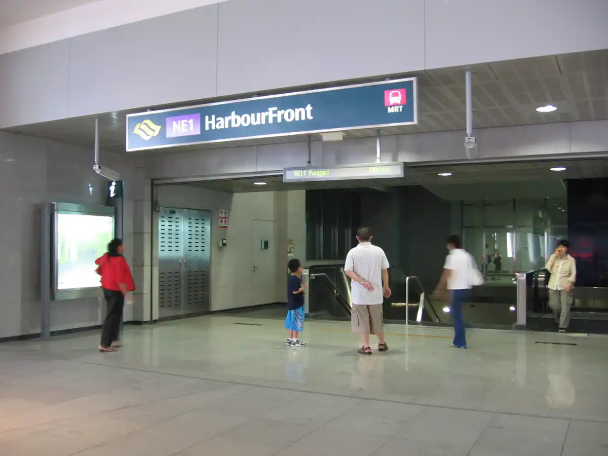
The most important station for visitors going to VivoCity, HarbourFront, the cable car, the ferry terminal to Batam/Bintan, and Sentosa. One of Singapore’s busiest interchange stations. The Circle Line exit leads to VivoCity directly; the North-East Line exit leads to HarbourFront Centre.
Best For
VivoCity, HarbourFront Centre, cable car, ferry terminal, Sentosa Express
Walk Times
VivoCity: 3 min via underpass. Cable car station (HarbourFront Tower 2): 5 min.
Bus Connections
Bus 175 to Alexandra Road and Gillman Barracks area. Bus 14 towards city.
Exit to Use
Exit B or C for VivoCity. Exit E for HarbourFront Ferry Terminal.
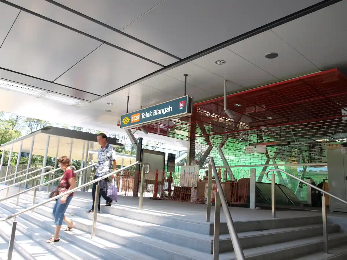
Telok Blangah
CC27
Circle Line · Between Labrador Park and HarbourFront
The station for Telok Blangah Hill Park, Telok Blangah Rise Food Centre, Sum Kee Food and access to the Southern Ridges trail from the Telok Blangah side. Less crowded than HarbourFront and Tiong Bahru a useful quiet entry point to the southern planning area.
Best For
Telok Blangah Rise Food Centre (5 min), Sum Kee zi char, Telok Blangah Hill Park, Southern Ridges trail access
Walk Times
Telok Blangah Rise FC: 5 min. Telok Blangah Hill Park entrance: 10 min.
Bus Connections
Bus 175 towards Alexandra Road and Queenstown.
Exit to Use
Exit B for the food centre and hill park.
Labrador Park
CC26
Circle Line · Between Haw Par Villa and Telok Blangah
The closest MRT to Labrador Nature Reserve and the starting point for walking the Southern Ridges from south to north. Also the most practical MRT for Grabbing to Gillman Barracks (~5 min, ~$6). One of Singapore’s quieter MRT stations almost no tourist infrastructure at the exit.
Best For
Labrador Park nature reserve, Berlayer Creek mangrove walk, Gillman Barracks (Grab), Southern Ridges start
Walk Times
Labrador Park entrance: 10 min via Labrador Villa Road.
Grab to Gillman
~5 min, ~$6. Most practical way to reach Gillman Barracks without a car.
Exit to Use
Single exit turn left and follow Labrador Villa Road to the park.
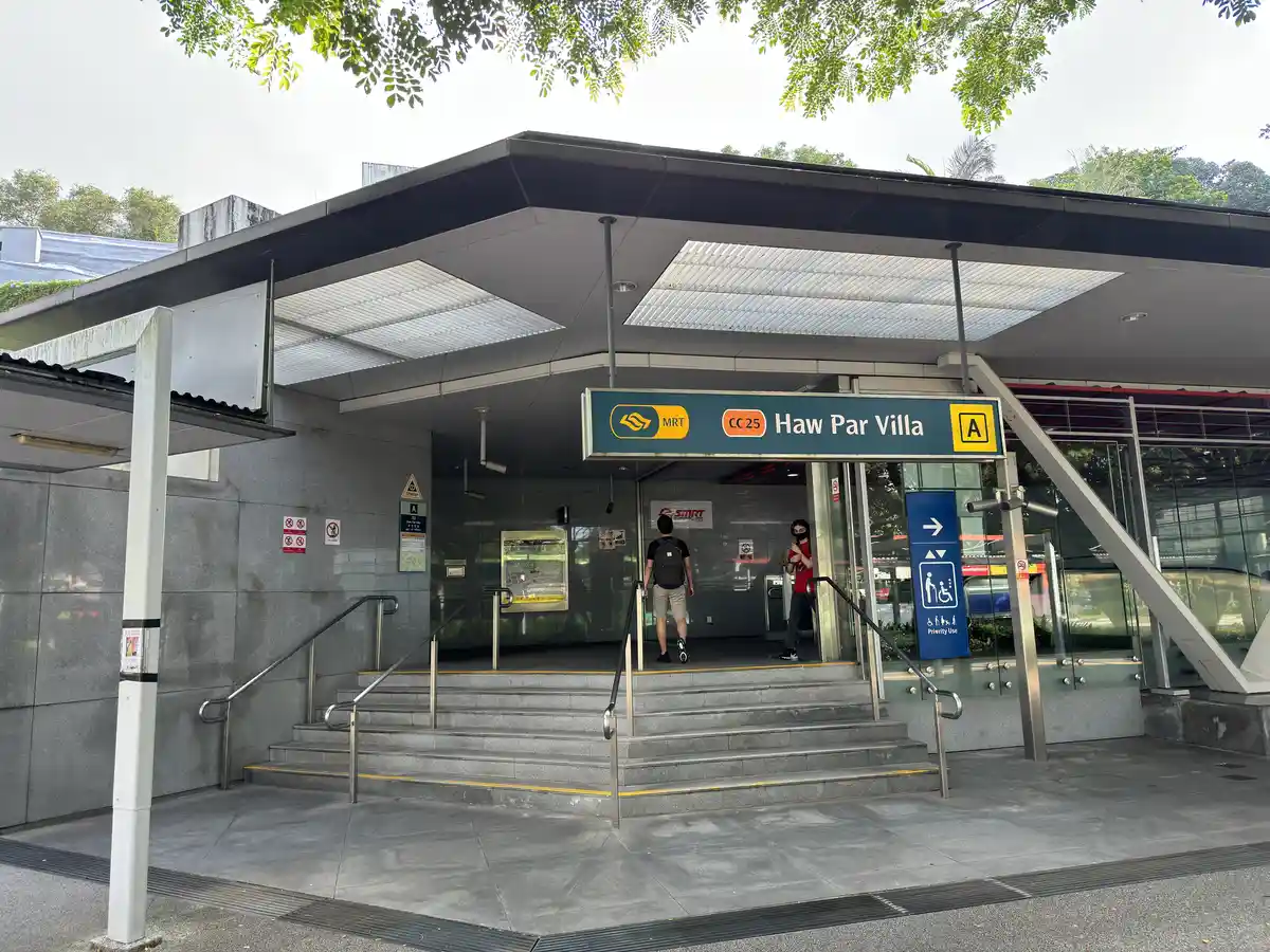
Haw Par Villa
CC25
Circle Line · Between Kent Ridge and Labrador Park
The station for Haw Par Villa theme park the famous Tiger Balm Gardens with its 1,000 Chinese mythology statues and dioramas. Rarely on visitors’ itineraries but genuinely worth a half-day visit for anyone interested in Chinese cultural heritage and unusual attractions. The station also connects to the western end of the Southern Ridges trail.
Best For
Haw Par Villa (direct), western Southern Ridges trail access, Pasir Panjang area
Walk Times
Haw Par Villa entrance: 3 min.
Note
Haw Par Villa underwent major redevelopment and reopened with a revamped Hell Museum. Check opening hours before visiting.
Getting to Each Destination Quickfinder
Use this table to find the fastest route from any MRT station to the specific destination you want in Bukit Merah.
Destination
Nearest MRT
From MRT
Total Journey from City
Tiong Bahru Market
Tiong Bahru EW17
5 min walk (Exit A)
~12 min from Raffles Place
Tiong Bahru cafes (Forty Hands, TB Bakery)
Tiong Bahru EW17
8–10 min walk
~15 min from Raffles Place
VivoCity
HarbourFront NE1/CC29
3 min walk (Exit B/C)
~18 min from Raffles Place (NE line)
Henderson Waves
Queenstown EW19
Bus 195 → Stop 11401 → 8 min walk
~35 min from Raffles Place
Labrador Park
Labrador Park CC26
10 min walk
~25 min from Dhoby Ghaut
Gillman Barracks
Labrador Park CC26
Grab ~5 min (~$6)
~30 min from Dhoby Ghaut
Alexandra Village FC
Tiong Bahru EW17
Bus 33 or 63 → 3 stops (~8 min)
~20 min from Raffles Place
Keng Eng Kee Seafood
Tiong Bahru EW17
Bus 33 → Bukit Merah Lane 1 (~10 min) OR Grab (~7 min)
~22 min from Raffles Place
Mount Faber / Cable Car
HarbourFront NE1/CC29
Cable car from HarbourFront Tower 2 (5 min walk from MRT)
~22 min from Raffles Place
Telok Blangah Rise FC (Sum Kee)
Telok Blangah CC27
5 min walk (Exit B)
~22 min from Dhoby Ghaut
Everton Park cafes
Outram Park EW16/NE3/TE17
10 min walk south
~10 min from Raffles Place
Redhill Food Centre
Redhill EW18
5 min walk
~14 min from Raffles Place
From the City Centre Journey Times
Most visitors to Bukit Merah will be coming from the central business district, Marina Bay or the main tourist corridors. Here are the most common journeys.
Journey Times from Key Singapore Locations
From Raffles Place MRT
EW line west → Tiong Bahru (EW17) 2 stops
~10 min on MRT + 5 min walk = 15 min total to Tiong Bahru Market
From Marina Bay MRT
CC line to HarbourFront (CC29) 7 stops
~18 min on MRT + 3 min walk = 21 min total to VivoCity
From Dhoby Ghaut MRT
CC line south to Labrador Park (CC26) 8 stops
~22 min on MRT + 10 min walk = 32 min total to Labrador Park
From Bugis MRT
EW line west → Tiong Bahru (EW17) 4 stops
~14 min on MRT + 5 min walk = 19 min total
From Outram Park MRT
EW line west 1 stop → Tiong Bahru (EW17) or walk 15 min south to Everton Park
~5 min to Tiong Bahru MRT. 15 min walk to Everton Park.
From VivoCity / HarbourFront
Already at the planning area’s southern anchor bus 175 north to Alexandra or Tiong Bahru
Bus 175 to Alexandra Village: ~15 min. Grab to Tiong Bahru Market: ~12 min, ~$8
From Changi Airport
Getting from Changi Airport to Bukit Merah involves either taking the MRT (which requires a line change at Tanah Merah) or taking a taxi/Grab directly. The taxi is faster and more practical if you have luggage.
By MRT: Take the East-West Line from Changi Airport (CG2) or Expo (EW1) westbound to Tanah Merah (EW4), then change to the westbound EW line. Continue to Outram Park (EW16) or Tiong Bahru (EW17). Total journey: 55–70 minutes depending on destination and waiting times. Cost: approximately $2.70–3.20.
By Grab/Taxi: Direct to Tiong Bahru: 25–35 minutes depending on traffic. Approximately $25–35 standard taxi or Grab. More practical with luggage and significantly faster than MRT with a line change.
By Bus (not recommended): Airport Express bus services do not run directly to Bukit Merah. Public bus options from the airport involve multiple changes. Not recommended for visitors unfamiliar with the bus network.
Changi Airport Taxi vs MRT When Each Makes Sense
Take the MRT if: you are travelling without significant luggage, you are a confident Singapore transit user, and your destination is within 5 minutes of Tiong Bahru or HarbourFront MRT. Take Grab or taxi if: you have luggage, it is peak hour (7:30–9am or 5:30–7:30pm when MRT is crowded), your destination is not walking distance from an MRT station, or you are arriving after midnight when MRT services are not running. The cost difference between MRT ($3) and Grab ($25–35) from Changi is significant but the time saved with luggage makes Grab the practical choice for most hotel arrivals.
From Orchard Road
Orchard Road is the most common starting point for visitors staying in the Orchard hotel corridor making day trips into the planning area.
To Tiong Bahru: Somerset MRT (NS23) → take bus 147 (Orchard Road bus stop, 7 min walk from Somerset MRT) → alight at Tiong Bahru Market. Approximately 20 minutes total. Or take MRT from Orchard (NS22) → City Hall (EW13/NS25) → Tiong Bahru (EW17), 3 changes, approximately 25 minutes.
To VivoCity: Orchard MRT (NS22/TE14) → Thomson-East Coast Line south → Outram Park interchange → North-East Line south to HarbourFront (NE1). Approximately 25 minutes.
By Grab from Orchard: To Tiong Bahru: ~12 min, ~$10–14. To VivoCity: ~20 min, ~$15–20 depending on traffic on the AYE.
Key Bus Routes for Getting Around Bukit Merah
Several bus routes are essential for reaching the planning area’s destinations that are not walking distance from MRT stations. These are the routes worth knowing.
Buona Vista ↔ Toa Payoh
195
Passes through: Queenstown MRT → Henderson Road → Bukit Merah
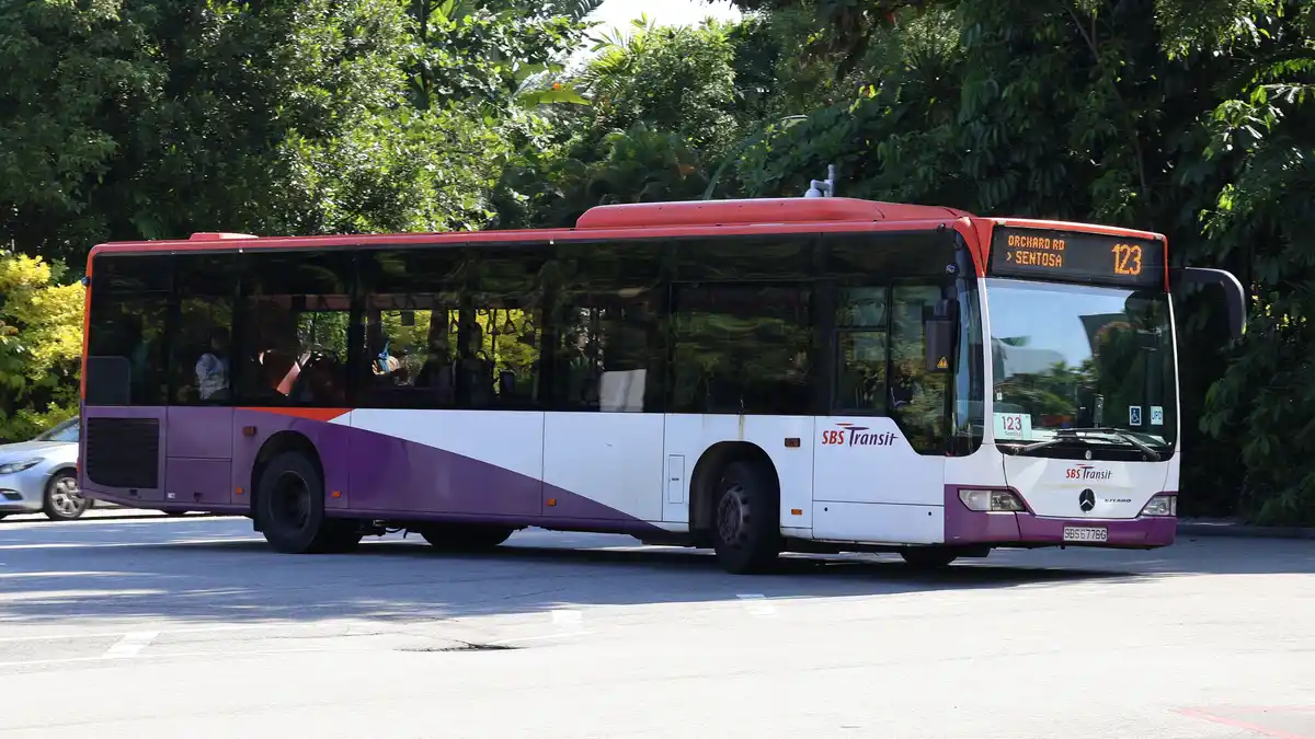
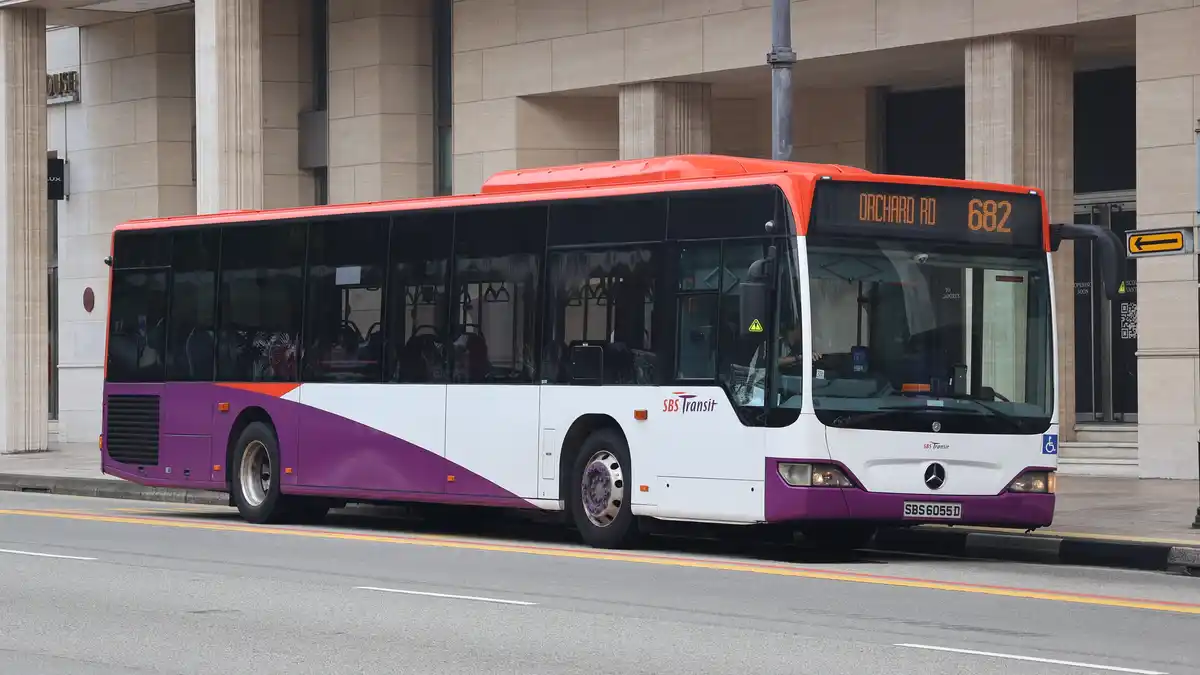
Key stop for Henderson Waves: ‘Opp Henderson Cres’ (Stop 11401) on Henderson Road. Alight here and walk 8 minutes up the park connector to the bridge. This is the most direct bus to Henderson Waves from Queenstown MRT (10 min) or Tiong Bahru MRT (15 min via connecting bus).
Key stops: Gillman Barracks (Stop 14131, alight here for the art galleries). Alexandra Village Food Centre area. Alexandra Road commercial strip including IKEA. This bus connects VivoCity to the Alexandra food corridor without needing to change services.
Clementi ↔ Bedok Interchange
14
Passes through: Queenstown → Alexandra Road → Keng Eng Kee area → city
Key stop for Keng Eng Kee: Alight at Bukit Merah Lane 1 junction on Alexandra Road. The restaurant is a 3-minute walk east into the lane. This is the most direct bus from Queenstown MRT to KEK and Alexandra Village Food Centre.
Bukit Merah Interchange ↔ Various
121 / 122
Passes through: Tiong Bahru MRT → Bukit Merah Central → Bukit Merah View
Key use: The 1-stop connection from Tiong Bahru MRT to Bukit Merah Central (Bukit Merah Central Food Centre, Bukit Merah View Market). The most practical way to reach the residential interior of the planning area from the MRT network.
Driving and Parking in Bukit Merah
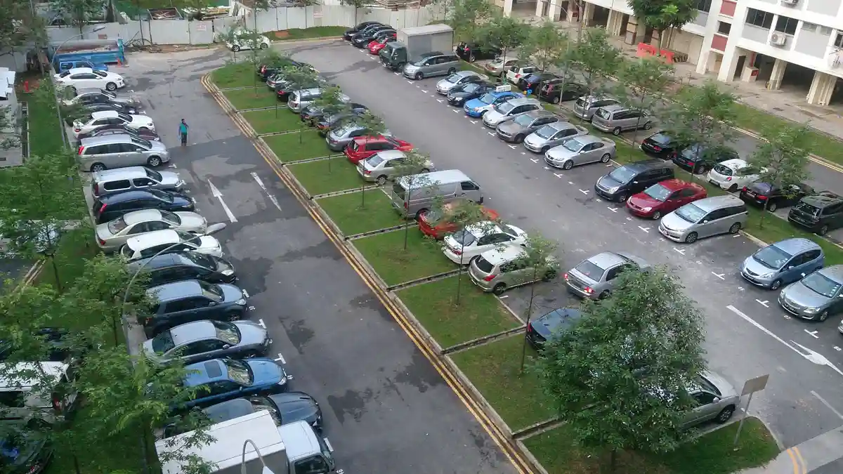
Driving to Bukit Merah from most parts of Singapore is straightforward. The planning area is accessible from the AYE (Ayer Rajah Expressway), the CTE (Central Expressway) and the MCE (Marina Coastal Expressway), with multiple entry points depending on which part of the planning area you are heading to.
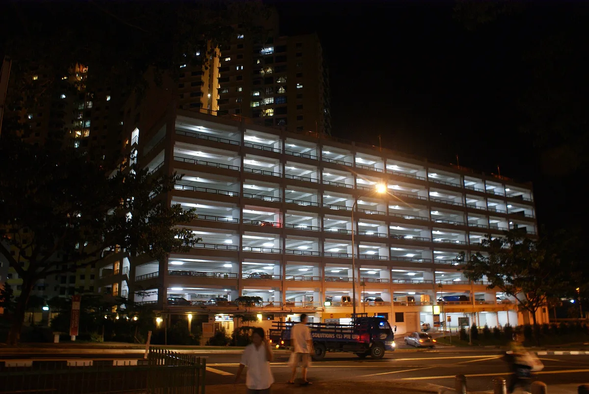
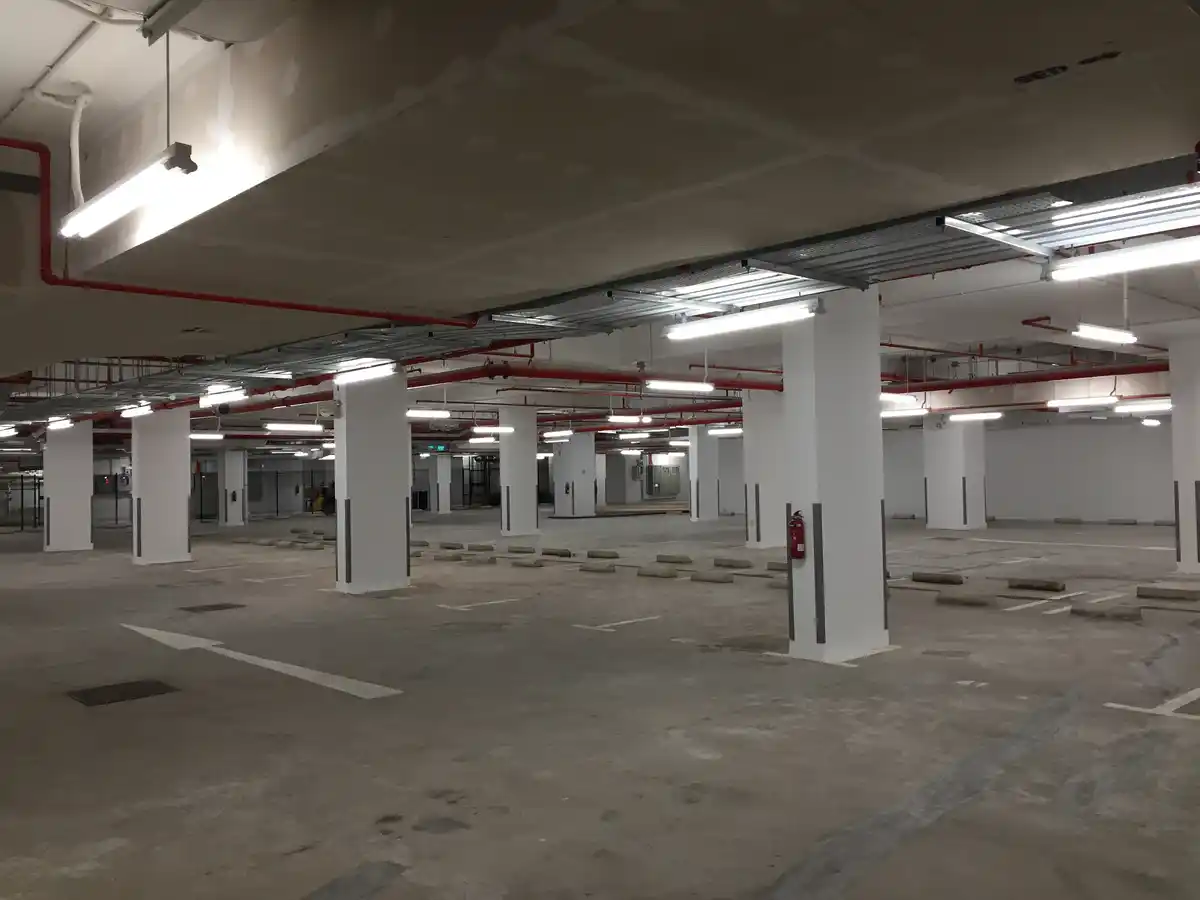
VivoCity Carpark
Largest Carpark
The largest car park in the planning area with multiple entry and exit points off HarbourFront Avenue. Expect significant congestion on weekend afternoons and during school holiday periods. Enter from HarbourFront Avenue Level 1 for the most direct access to the mall.
$0.05/min weekdays, $0.07/min weekends. First 30 min $1.50 with mall spending validation.
Tiong Bahru Plaza Carpark
Tiong Bahru Access
On Outram Road adjacent to Tiong Bahru Plaza. Best for visiting Tiong Bahru Market, the conservation area cafes and Books Actually. Avoid weekend mornings the market crowd fills it by 9am.
Standard URA electronic parking. Typically $1–2 for a morning visit.
Mount Faber Summit Carpark
Southern Ridges / Mt Faber
Free parking at the Mount Faber summit on weekends and public holidays. Accessible via Mount Faber Road from Alexandra Road. Limited spaces arrive before 9am on weekends for the trail or cable car to guarantee a space.
Free weekends. Metered weekdays.
Bukit Merah Central / View HDB Carparks
HDB Estate Parking
Multiple HDB carparks throughout the residential estates near Bukit Merah Central Food Centre, Bukit Merah View Market and the Jalan Bukit Merah commercial blocks. Electronic parking at standard HDB rates.
$0.60–1.20/hour depending on location and time.
Parking Reality Check
Driving to Tiong Bahru on weekend mornings is reliably frustrating. The Tiong Bahru Plaza carpark fills by 9am on Saturdays and Sundays. The nearby HDB carparks along Tiong Bahru Road and Seng Poh Road are metered and enforcement is consistent. If you are visiting specifically for the market and cafes on a weekend morning, take the MRT parking stress is not worth it for a destination that is 12 minutes from Raffles Place by train.
Grab & Taxi When to Use Them
Grab is by far the most commonly used ride-hailing service in Singapore. Standard taxis (metered) are also widely available but Grab is generally faster for booking and pricing is comparable or lower for standard rides.
Journey
Estimated Grab Cost
Estimated Time
Alternative
Tiong Bahru MRT → Keng Eng Kee
$6–8
5–7 min
Bus 33 or 63 (10–12 min)
Labrador Park MRT → Gillman Barracks
$5–7
4–6 min
Bus 175 (15 min)
HarbourFront → Tiong Bahru Market
$10–14
10–15 min
MRT EW line (15 min)
Changi Airport → Tiong Bahru
$25–35
25–35 min
MRT (55–70 min)
Tiong Bahru → Henderson Waves
$8–12
8–12 min
Bus 195 from Queenstown (20 min)
Orchard Road → Tiong Bahru
$10–14
12–18 min
MRT via City Hall (25 min)
Cycling to Bukit Merah
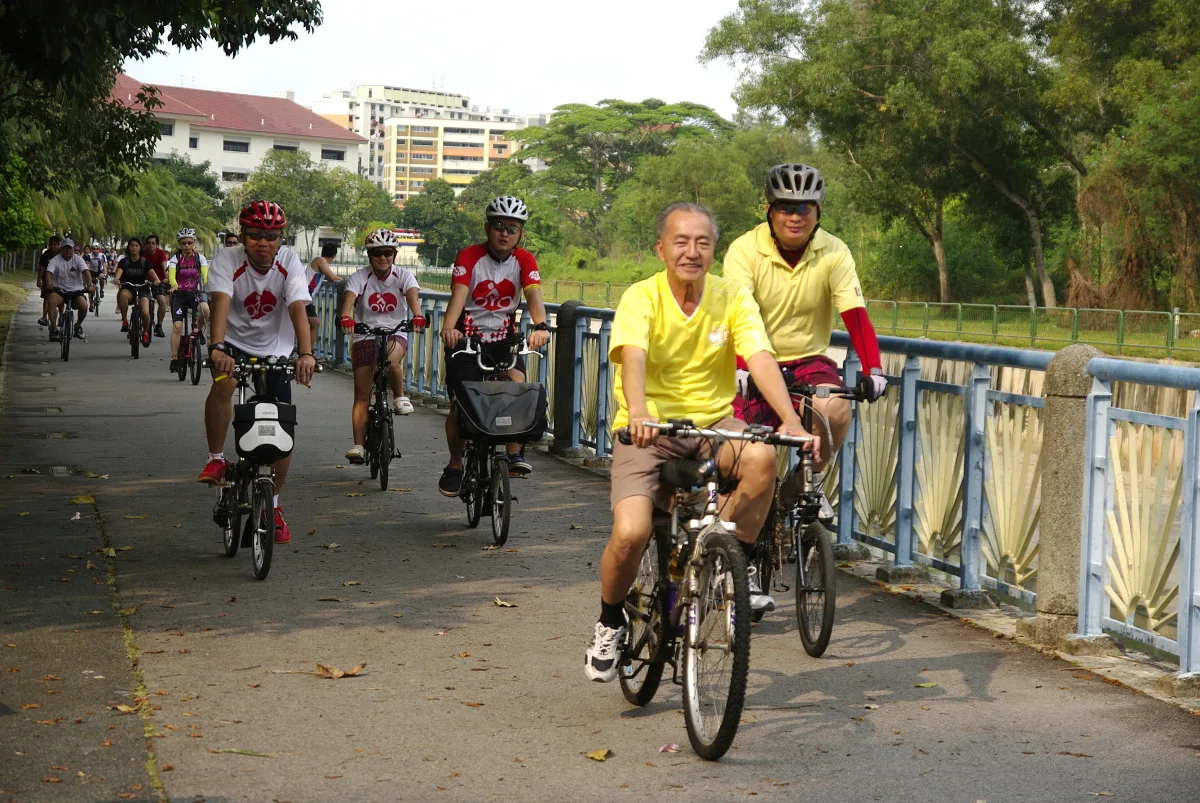
Cycling is a practical option for reaching parts of the Bukit Merah planning area, particularly from adjacent planning areas. The Alexandra Canal Linear Park provides a continuous cycling path from the Holland Village and Queenstown areas into the Alexandra corridor of Bukit Merah. The route is flat, well-maintained and largely shaded.
From Holland Village: Alexandra Canal park connector south-east, approximately 5km to Alexandra Village Food Centre. Around 20 minutes at a moderate pace.
From Queenstown: Alexandra Canal connector or Queensway road cycling path, approximately 3km to Alexandra Road. Around 12–15 minutes.
From the city centre (Tanjong Pagar): Park connector network via Neil Road and Cantonment Road, approximately 4km to Tiong Bahru. Feasible on flat terrain, around 18 minutes.
Bike share: SG Bike and oBike have docked stations near Tiong Bahru MRT and HarbourFront MRT. Check the respective apps for current availability. Docked stations at residential estates within the planning area are less consistently stocked than at MRT stations.
Note on the Southern Ridges: the Southern Ridges trail is walking-only no cycling permitted on the Forest Walk elevated boardwalk or the Henderson Waves bridge. Park connectors leading to the trail allow cycling up to the access points.
Paying for Transport EzLink, SimplyGo & Tourist Passes
Singapore’s public transport payment system works on a contactless card or app basis there is no cash payment option on MRT or buses. Visitors need to sort out payment before they start travelling, not after arriving at the fare gates.
EzLink card: the standard rechargeable transport card. Available at all MRT station customer service counters and 7-Eleven stores for $10 (includes $5 stored value and $5 non-refundable card cost). Top up at MRT station top-up machines, 7-Eleven, Cheers and AXS machines. This is the most practical option for visitors staying more than 2 days.
SimplyGo: Singapore’s bank card contactless payment system. If your Mastercard or Visa contactless card is enabled for SimplyGo, you can tap it directly at MRT and bus fare gates without an EzLink card. Check the SimplyGo website for participating card issuers. Note: you cannot see your remaining fare balance with a bank card you will receive an error at the gate if your card is declined rather than a low-balance warning.
Singapore Tourist Pass: unlimited MRT and bus travel for 1, 2 or 3 days. Available at Changi Airport MRT and major tourist-area stations. Cost: $10/day (includes $10 refundable deposit). Worth buying if you are making 5+ MRT trips per day across the city. For a Bukit Merah-focused visit, the per-trip cost on an EzLink card is typically lower than the tourist pass cost.
NETS FlashPay: an older contactless payment card still in use. Accepted on MRT and buses alongside EzLink. Not recommended for new visitors EzLink is more widely available for top-up.
Peak Hours When to Avoid the MRT
Singapore’s MRT peak hours are 7–9am and 5:30–7:30pm on weekdays. The East-West Line westbound (towards Tiong Bahru and Jurong) is heavily loaded during morning peak. The NE and CC lines serving HarbourFront are busy during both peaks. If you have flexibility, travelling to Bukit Merah before 7am or between 9am and 5pm gives you a significantly more comfortable experience on the train. Weekend mornings are busier than weekday afternoons at the tourist-facing stations HarbourFront and Tiong Bahru are at their quietest on weekday afternoons after 2pm.
Late Night Transport in Bukit Merah
MRT services in Singapore stop operating between midnight and 5:30am. After midnight, bus and taxi/Grab are the main options for getting to and from Bukit Merah.
Night buses: Several Night Rider (NR) services pass through or near the planning area. NR2 and NR8 serve the Bukit Merah area during weekend overnight operations (approximately midnight to 5:30am, 30-minute frequency). These services connect the planning area to the city centre and other planning areas but do not serve all destinations within Bukit Merah.
Grab after midnight: Grab surge pricing typically applies between midnight and 3am on weekends. A Grab from the city centre to Tiong Bahru that costs $10–14 at 11pm may cost $15–22 at 1am. Budget accordingly if you are staying out late in the planning area.
Taxi at HarbourFront: The VivoCity taxi stand on the ground level is one of the more reliable late-night taxi pickup points in the planning area the cinema and restaurant late closing times mean taxis circulate here consistently until midnight.
FAQ Getting To Bukit Merah
Bukit Merah has nine MRT stations across three lines. The nearest station depends on your specific destination. For Tiong Bahru: Tiong Bahru MRT (EW17). For VivoCity and HarbourFront: HarbourFront MRT (NE1/CC29). For Labrador Park: Labrador Park MRT (CC26). For Henderson Waves: Queenstown MRT (EW19) then Bus 195. There is no single central Bukit Merah MRT station.
From Raffles Place MRT: 2 stops westbound on the East-West Line to Tiong Bahru (EW17), approximately 10 minutes on the train plus 5 minutes walk to Tiong Bahru Market 15 minutes total. From Marina Bay MRT: take the Circle Line to HarbourFront then EW line north, approximately 25 minutes. The fastest route is always from Raffles Place or Outram Park on the East-West Line.
Technically yes approximately 2.5km, around 35 minutes on flat ground but the approach to Henderson Waves involves an uphill section that adds time and effort. Not recommended in Singapore’s heat. The practical route is Bus 195 from Queenstown MRT (alight Stop 11401 on Henderson Road, 8 minutes walk to the bridge) or a Grab from Tiong Bahru MRT (~$8–12, 8–12 minutes).
Tiong Bahru Plaza carpark on Outram Road is the closest option approximately 5 minutes walk to the market. It fills by 9am on weekend mornings. HDB carparks along Tiong Bahru Road and Seng Poh Road have metered spaces but consistent enforcement. For weekend morning visits, taking the MRT is significantly less stressful than driving.
There is no MRT within easy walking distance of Gillman Barracks. The most practical route is: take the Circle Line to Labrador Park MRT (CC26), then Grab from the station (~5 minutes, ~$6). Alternatively, Bus 175 from HarbourFront MRT runs along Alexandra Road alight at Stop 14131 and walk 3 minutes to the Gillman Barracks gate. Allow 30–35 minutes from the city centre.
Brandon’s Verdict
Plan your transport before you leave, not when you arrive at the MRT exit.
The most common navigation mistake I see in this planning area is people arriving at Tiong Bahru MRT and then realising that the thing they actually want to do Henderson Waves at sunset, Alexandra Village Food Centre for lunch, Gillman Barracks for the galleries is not walking distance from where they are standing. The MRT connectivity in Bukit Merah is genuinely good if you use it correctly. Tiong Bahru is 12 minutes from Raffles Place. HarbourFront is 18 minutes from Marina Bay. Use the table in this guide to plan the last-mile connection before you leave whether that is Bus 195 for Henderson Waves or a $6 Grab to Gillman. The planning area rewards people who know their route in advance.